
NULL
2011-01-17 23:45:26.000 – Mike Carmon, Staff Meteorologist

NULL
It’s been about 24 hours since we last spoke, and I figured I’d update everyone on the topic of discussion I chose, considering it’s something that will directly affect you valley-dwellers as well.
The topic? The latest in what is shaping up to be a seemingly endless parade of coastal storm systems charging their way up the eastern seaboard. It appeared yesterday that this storm would be warmer than that of last Wednesday, producing a sloppy icy mess of precipitation across the whole of New England. What I can tell you as of this time is that the models have seemed to take a bit of a chillier turn, and it looks as if precipitation types are trending more towards snow and sleet rather than rain and freezing rain.
It looks as if snow will overspread most of New England sometime Tuesday morning, and continue through the day, becoming heavy at times through the afternoon. As the low pressure center moves closer, it looks as if warm air will intrude overhead, prompting a period of mixing with sleet across interior sections of New England, and a mix of sleet, freezing rain, and even plain rain nearer the coast.
The good news in all of this is the timing–I was lamenting quite a bit yesterday that Wednesday shift change days seem to attract bad weather. However, the storm has sped up considerably, and it appears the worst of this storm will pass through Tuesday afternoon and overnight. The bulk of precipitation will be over by daybreak on Wednesday, which has left me quite elated.
So here’s…hoping we get a foot of snow!
Mike Carmon, Staff Meteorologist
Home on the Range
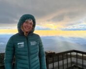
Home on the Range By Athena Hendrick Nice to meet you! My name is Athena, and I’ve just begun my climate science communication internship with the Mount Washington Observatory, Appalachian Mountain Club, and Hubbard
Seek the Peak Spotlight: Sandy and Joan Kurtz
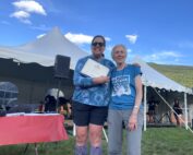
Seek the Peak Spotlight: Sandy and Joan Kurtz By MWOBS Staff Sandy and Joan Kurtz have been active supporters of Mount Washington Observatory for almost five decades. After visiting North Conway in 1980, they
Living the Night Life
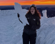
Living the Night Life By Madelynn Smith My alarm goes off in the bunkroom, with blackout curtains obscuring the sun’s rays as it begins to lower in the sky. My day starts in the
