
A Chilly August Weekend Ahead
2019-08-09 09:50:28.000 – Tom Padham, Weather Observer/Education Specialist
The weekend ahead looks to feature some of the first “fall-like” weather on the summit, even though the calendar only reads mid-August! There’s even a chance we could see our first freezing temperatures of the new snow season (which runs from July to June). We’ll take a look at the larger scale weather features responsible and also put this into context compared to our historical records on the summit.
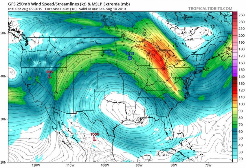
A large upper level low will be moving across southern Canada through the weekend, with a deep flow of northwesterly winds pulling in colder air into New England. At the surface this air will be moderated by the strong still-summer sun, but near Mount Washington’s level this will be an expansive, cool to even cold air mass.
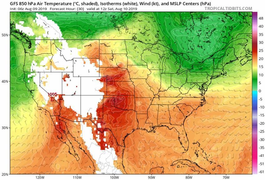
GFS model 850 mb (5,000 ft level) temperatures showing a large mass of cooler air over southern Canada and the Northeast U.S Saturday morning. Image courtesy of Tropical Tidbits.
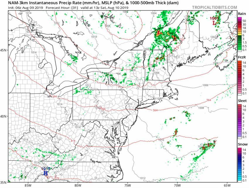 3 km NAM model showing potential rain showers and embedded thunderstorms accompanying the cold front Saturday morning. Any storms that develop could contain small hail due to the low freezing levels. Image courtesy of Tropical Tidbits.
In historical context this will not be a record setting cold event for this time of year. The summit typically starts a downward trend in our temperatures right around early August, and daily record lows for this weekend are in the upper 20s Fahrenheit, so a few degrees colder than what is expected. In only one short month below freezing temperatures actually become the norm for us up here, and typically our first measurable snowfall will have occurred before the end of September. Winter and all the exciting weather that comes with it is just around the corner, but for now we’ll enjoy the warmth while it lasts!
Tom Padham, Weather Observer/Education Specialist

Seek the Peak Spotlight: The Cloud Chasers
Seek the Peak Spotlight: The Cloud Chasers By MWOBS Staff Mike Bergeron and Desiree Bolton have been participating and volunteering for Seek the Peak for three years now. Together, they comprise Team Cloud Chasers

Celebrating 250 Years: The Declaration’s Legacy in the White Mountains
Celebrating 250 Years: The Declaration's Legacy in the White Mountains By Peter Crane We are now approaching July Fourth, Independence Day, the day when we celebrate the adoption of the Declaration of Independence in

Seek the Peak Spotlight: Ryan Shepard
Seek the Peak Spotlight: Ryan Shepard By MWOBS Staff Before Ryan Shepard moved to Conway, he was in Western New York celebrating his 40th birthday party. “I wanted to go big,” he said. “Big”
