A Touch of Winter
2015-10-11 17:22:19.000 – Michael Dorfman, Weather Observer/IT Specialist
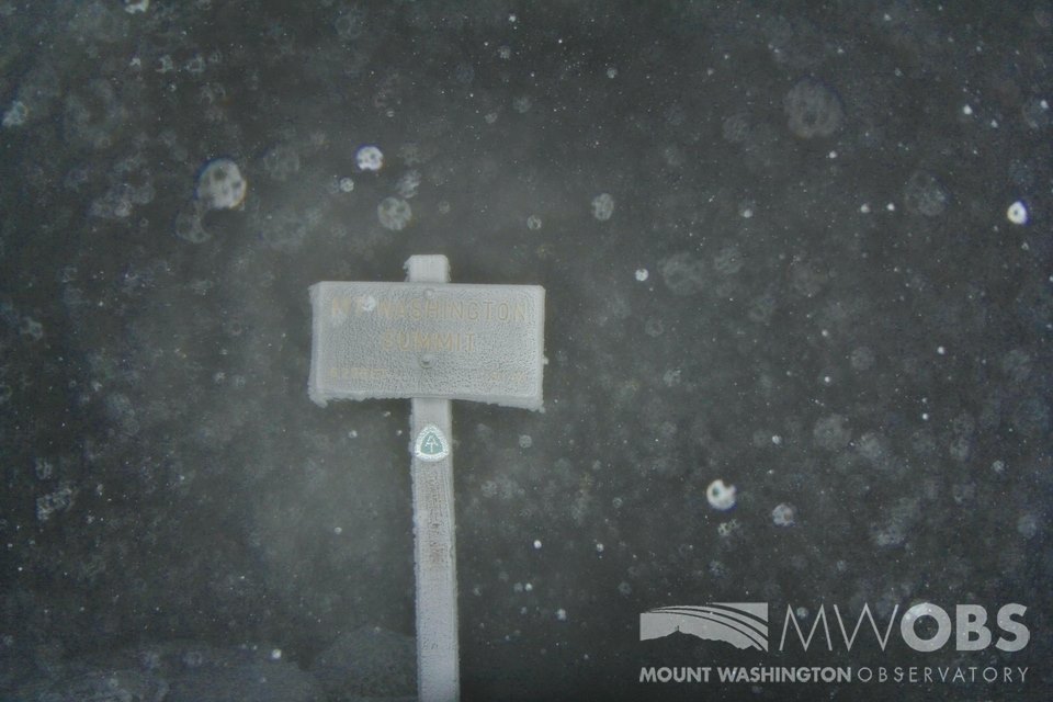
Mount Washington received its first snowfall of the season on Saturday! The summit was coated in half an inch of the white stuff overnight. Combined with a beautiful backdrop of changing leaves in the valley, the summit has been very photogenic recently. While this is exciting for us on the summit, we can and have seen snow in every month of the year. Our average October snowfall is 17.6 inches, so we have a ways to go!
 Rime Ice and Snow on the Summit!
We’re seeing more evidence of winter’s onset in the form of strong winds. We peaked at 99 miles per hour Friday night. The summit receives stronger winds in the wintertime thanks to a tighter temperature gradient, and in turn, a tighter pressure gradient. We see hurricane force winds every other day and 100 mile per hour wind gusts about every 4 days here on the summit in the winter, so I’m looking forward to more exciting weather!
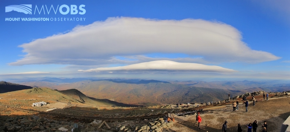
 A Lenticular Cloud Forming over the Carter-Moriah Range. These clouds formed due to strong winds today.
As we head deeper into winter, be careful when heading into the higher summits! Hikers often underestimate the weather when they feel the tee-shirt weather in the valley. Be sure to check out our Higher Summits 48 Hour Forecast, updated at 6 PM and 6 AM every day before heading above tree line.
Michael Dorfman, Weather Observer/IT Specialist
Team Flags Return for Seek the Peak’s 25th Anniversary
Team Flags Return for Seek the Peak's 25th Anniversary By MWOBS Staff Mount Washington Observatory is looking forward to continuing a much-loved tradition for Seek the Peak’s 25th Anniversary: Team flags. In inviting teams
Meet Summer Interns Zakiya, Max and Maddie
Meet Summer Interns Zakiya, Max and Maddie By MWOBS Staff We are excited to welcome six teammates to the summit of Mount Washington this summer! During their internship, these students and graduates will play
Saying Goodbye to the Summit
Saying Goodbye to the Summit By Alexis George After an extraordinary last three years working as a Weather Observer and Meteorologist, I am excited to pursue a different career. As sad I as am


