A Turn for the Snowy In Our Future?
2020-01-13 09:12:47.000 – Thomas Padham, Weather Observer/Education Specialist

“Zonal flow” is the term meteorologists often use with this upper level, or jet stream pattern where the jet stream is mostly oriented due west-east with little in the way of dips. With this pattern for us in New England we’re often directly under the jet stream, with weak, but quick moving and frequent storm systems. We’ll see two weak clipper-like systems centered around Tuesday night and again Thursday with this pattern, resulting in around 3-6” or 4-8” of snow total for the summit.
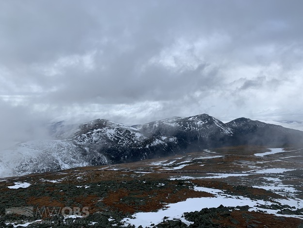
After this there has consistently been a large storm system affecting the Northeast during the Saturday-Sunday timeframe. This storm is able to take advantage of the jet stream digging, or dipping much further south while also strengthening, resulting in more moisture and energy for the storm. For us here on the summit and also the northern half of New England temperatures should remain cold enough for all snow, and much of the area may potentially see a solid 6-12” of snow from this storm. This storm also looks to be a pretty significant wind event for the summit, possibly reaching our highest readings so far in 2020, surpassing the 119 mph gust we observed Saturday the 11th. After surviving the dreaded “January thaw” that is fairly common this time of year it’s a relief to see plenty of snow in our future!
Thomas Padham, Weather Observer/Education Specialist
Team Flags Return for Seek the Peak’s 25th Anniversary
Team Flags Return for Seek the Peak's 25th Anniversary By MWOBS Staff Mount Washington Observatory is looking forward to continuing a much-loved tradition for Seek the Peak’s 25th Anniversary: Team flags. In inviting teams
Meet Summer Interns Zakiya, Max and Maddie
Meet Summer Interns Zakiya, Max and Maddie By MWOBS Staff We are excited to welcome six teammates to the summit of Mount Washington this summer! During their internship, these students and graduates will play
Saying Goodbye to the Summit
Saying Goodbye to the Summit By Alexis George After an extraordinary last three years working as a Weather Observer and Meteorologist, I am excited to pursue a different career. As sad I as am


