April Showers Bring…Record Snowstorms!?
2017-05-15 17:41:41.000 – Tom Padham, Weather Observer/Education Specialist
May is generally a month when we start to think about the warmer days of summer and maybe even spending time at the beach, but on Mount Washington Mother Nature often has different things in mind. After an overall mild April with above average temperatures and our snow cover completely melting out, May threw us one heck of a curveball!
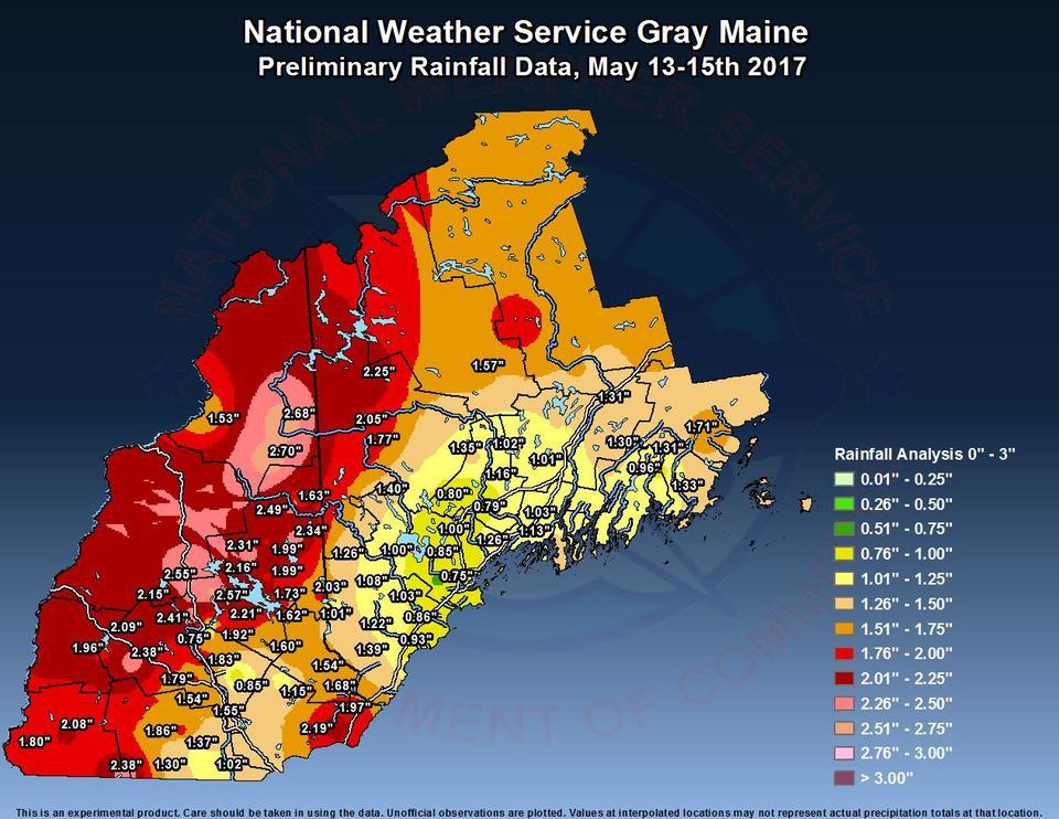
Temperatures had been running 6°F below average for the first half of the month, with snow showers adding up to 8.9” through the 13th. May only averages 12” of snowfall on the summit, and we were already well on our way to surpassing that total. Instead of seeing the snow let up towards the tail end of winter, quite to our surprise we’ve just recorded our biggest single-storm snowfall since October 2005! Snow fell continuously for 38 hours straight from Saturday evening on the 13th through Monday morning on the 15th, with a grand total of 33.3” of accumulation. This was the largest snowstorm ever recorded in our 85 years in May, and also broke the record for 24-hour accumulation in May at 22.9”.

We were just as shocked as many people across New Hampshire with the snowfall, although most people were shocked to just see snow, while we were impressed much more so by the amount. We also seemed to be in just about the perfect location for this storm, with a maximum, or “bull’s-eye” for overall liquid equivalent precipitation from Mount Washington north and east. At no point did this feel “normal” for May, even by our standards, and the snow just kept falling and pilling up. It was an incredible experience for the staff on the summit, one that we won’t soon forget!
Tom Padham, Weather Observer/Education Specialist
Team Flags Return for Seek the Peak’s 25th Anniversary
Team Flags Return for Seek the Peak's 25th Anniversary By MWOBS Staff Mount Washington Observatory is looking forward to continuing a much-loved tradition for Seek the Peak’s 25th Anniversary: Team flags. In inviting teams
Meet Summer Interns Zakiya, Max and Maddie
Meet Summer Interns Zakiya, Max and Maddie By MWOBS Staff We are excited to welcome six teammates to the summit of Mount Washington this summer! During their internship, these students and graduates will play
Saying Goodbye to the Summit
Saying Goodbye to the Summit By Alexis George After an extraordinary last three years working as a Weather Observer and Meteorologist, I am excited to pursue a different career. As sad I as am


