Cirrus Clouds
2011-11-02 20:01:54.000 – Kevin Cronin, Summit Intern
Cirrus Clouds
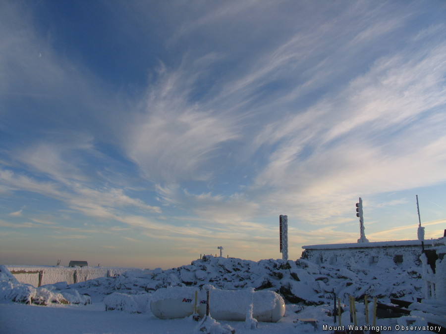
As I headed out to the observatory deck two hours before sunset, I noticed the sky was full of cirrus clouds. The picture below provides a great representation of what cirrus clouds look like. You can usually identify them from the wispy, hair-like signatures they make in the sky. They are not formed from a collection of water droplets such as fair weather cumulus clouds or stratus clouds. They are actually a collection of ice crystals. The ice crystals form from deposition, which is a transition of a substance from a gas to a solid. After the ice crystals form, they fall until they sublimate back into the air giving the appearance of fall streaks. Fall streaks are dictated by the direction and intensity of the wind at the level of the atmosphere the cloud is located.
Cirrus clouds are usually around 16,000 feet and can even extend up to 20,000 feet in tropical regions. These heights are well above other clouds made of water droplets. This makes them easy to spot on a clear day due to their unique hair-like signatures. Since they are distinguishable from many other clouds, it makes it simple for anyone to identify them in the sky and determine the general height of the clouds. However, low level clouds could obscure the observers view of them even if they are present above. Fortunately for me only cirrus clouds painted the sky today.
Kevin Cronin, Summit Intern
Hiker Spotlight: Sandy and Joan Kurtz
Hiker Spotlight: Sandy and Joan Kurtz Sandy and Joan Kurtz have been active supporters of Mount Washington Observatory for almost five decades. After visiting North Conway in 1980, they fell in love with the
Living the Night Life
Living the Night Life By Madelynn Smith My alarm goes off in the bunkroom, with blackout curtains obscuring the sun’s rays as it begins to lower in the sky. My day starts in the
Three and a Half Months of Snow, Ice and Rime
Three and a Half Months of Snow, Ice and Rime, with Deeper Drifts. By Ryan Steinke Me outside on the summit near the Yankee Building. My internship with the Mount Washington Observatory


