High Winds and Icy Sunsets
2018-09-25 16:37:42.000 – Chloe Boehm, Summit Intern
The last few days up here on the summit have given me my first real taste of the extreme (and beautiful) weather that Mt. Washington. Within 5 days of breaking a daily record high temperature, we had our first significant icing event of the season and our fastest wind speeds since May! Although the summit starts to get frost and some ice fairly regularly this time of year, the elements really aligned this past weekend to give us some of the most extreme weather I have ever seen.
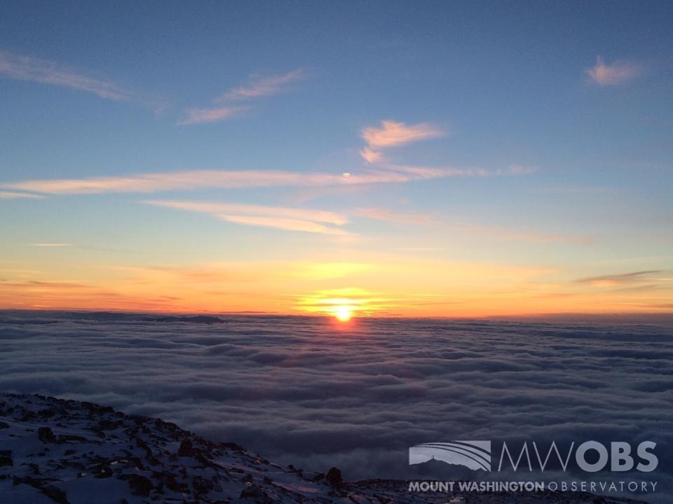
My week up here on the summit started out beautiful and calm with a strong cloud inversion that made driving up the auto road Wednesday a pretty amazing experience. We started out with a sprinkle of rain in the auto road parking lot and completely overcast skies but as we climbed up over 5000 ft, we suddenly broke out of the clouds to see beautiful sunny skies ahead. For once, the summit actually had more favorable weather than the valleys did! As much as I like sunny skies and low winds, I was much more excited for what was going to happen in the next few days.
On Friday into Saturday, two strong fronts passed through the region, first a warm front that gave us some pretty significant rain showers that then was followed closely by a strong cold front. Since these two fronts were fairly close together, there was a very steep pressure gradient between them. The phrase “pressure gradient” is often used to explain why we get such strong winds so I wanted to take a second and explain what it was. For those who don’t know, a pressure gradient is essentially the rate at which the pressure changes over a certain distance. A steep pressure gradient would mean that the pressure was changing a lot over a short distance versus a weak pressure gradient would mean that the pressure was not changing very much or that it was changing but over a very large distance. Since wind moves from areas of high pressure to areas of low pressure, the steepness of the pressure gradient directly correlates with the speed of the wind. If you think of the wind moving across the pressure gradient like a ball rolling down a hill it can help one visualize what is happening. The steeper the hill the faster the ball rolls and similarly the steeper the pressure gradient, the faster the wind speeds. So when observers see how the pressure gradient is changing it can give a pretty good idea of how the wind speeds are going to change.
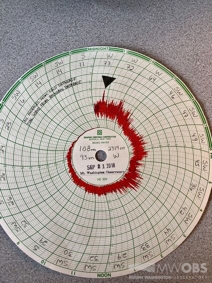
The pressure gradient we saw last Friday and Saturday was very steep, so steep in fact that wind speeds were sustained at 70-80 mph and we saw gusts up to 108 mph. This is some of the fastest wind speeds in September the summit has seen in a while! Combined with those fast winds was cold temperatures from the incoming cold front which created a wind chill well below freezing. That plus the fact the summits was in the clouds and there was quite a bit of moisture in the air created prime conditions for icing. On Saturday morning, we saw a few inches of ice on most of the parapet and on the railings of the observation deck.
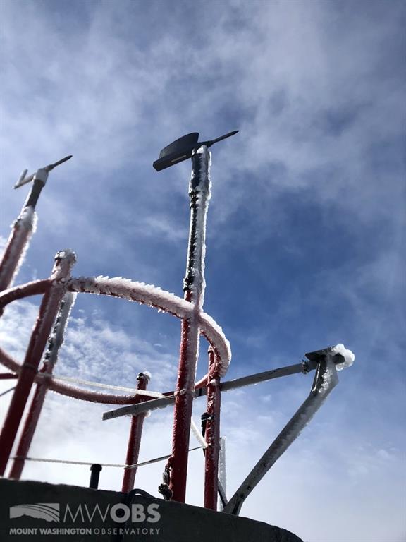
The ice managed to stick around till sunset which made the beautiful sunset even more beautiful. Needless to say, this past weekend made me even more excited for the upcoming winter. Thanks for reading, and I will leave you with some pictures of the gorgeous sunset we had on Saturday night.
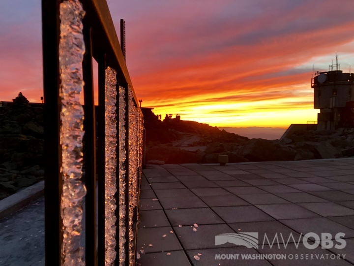
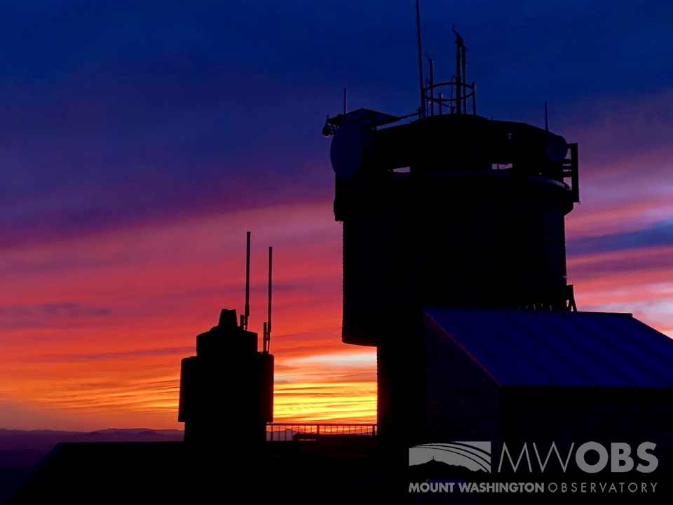
Chloe Boehm, Summit Intern
Three and a Half Months of Snow, Ice and Rime
Three and a Half Months of Snow, Ice and Rime, with Deeper Drifts. By Ryan Steinke Me outside on the summit near the Yankee Building. My internship with the Mount Washington Observatory
Supporter Spotlight: Righteous Vices Coffee Roasters
Supporter Spotlight: Righteous Vices Coffee Roasters By MWOBS Staff Righteous Vices Coffee Roasters, a local coffee roaster and shop located in Center Conway, New Hampshire, has been a partner of the Observatory since 2024.
Winter Storm Tracks Across New Hampshire
Winter Storm Tracks Across New Hampshire By Alex Branton As winter comes to a close, most of us are ready for the warmer temperatures and sunshine that come with Spring and Summer. Although we


