Snowpack Energy Monitoring with Low Cost Instrumentation

The White Mountains are the dominant headwaters for several rivers in New Hampshire and Maine and manual observations of snowpack conditions are logistically challenging in this remote and rugged region. Automated measurements via on-the-ground instrumentation are generally accurate and can measure continuously, but each station is expensive to build and maintain, thus resulting in scattered data points at best. Snow water equivalent observations of high spatial resolution are occasionally taken by aircraft over New Hampshire, but these observations are expensive, limited in spatial extent, occur irregularly, and are hard to verify with a lack of ground-based measurements.

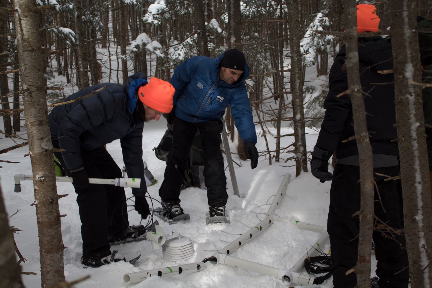
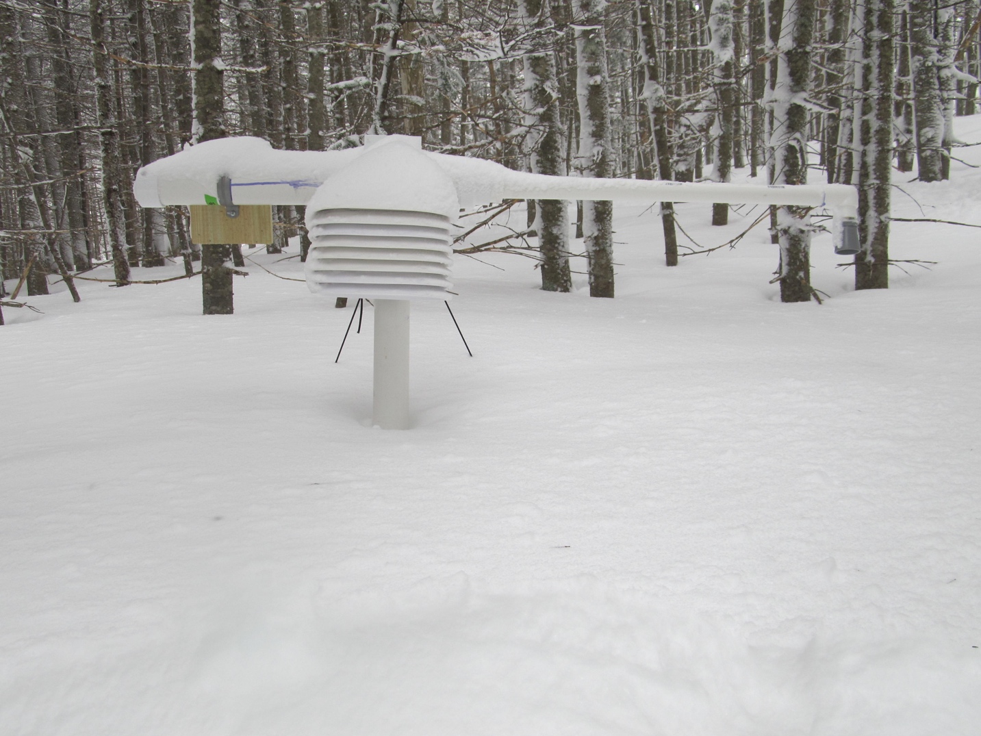
A new research project that began this past summer aims to leverage inexpensive new technologies to design and build several snowpack sensing stations to monitor snowpack conditions on a mid-elevation slope on Mount Washington as a proof of concept of its efficacy. A Plymouth State University (PSU) graduate student, Liz Jurkowski, with technical contributions from MWO Director of IT, Keith Garrett, and PSU Environmental Researcher, Dan Evans, led the design and testing of an instrument platform that measures a profile of snowpack and soil temperature, snow depth, air temperature and relative humidity. Six platforms were built and installed in pairs at three different elevations along the John Sherburne Ski Trail between the base and Hermit Lake. This hard-working and enthusiastic team, including several other PSU students, helped to install the sensors in November. After multiple trips in the cold and wind to wire the microcontrollers, the stations were up and running before Christmas.
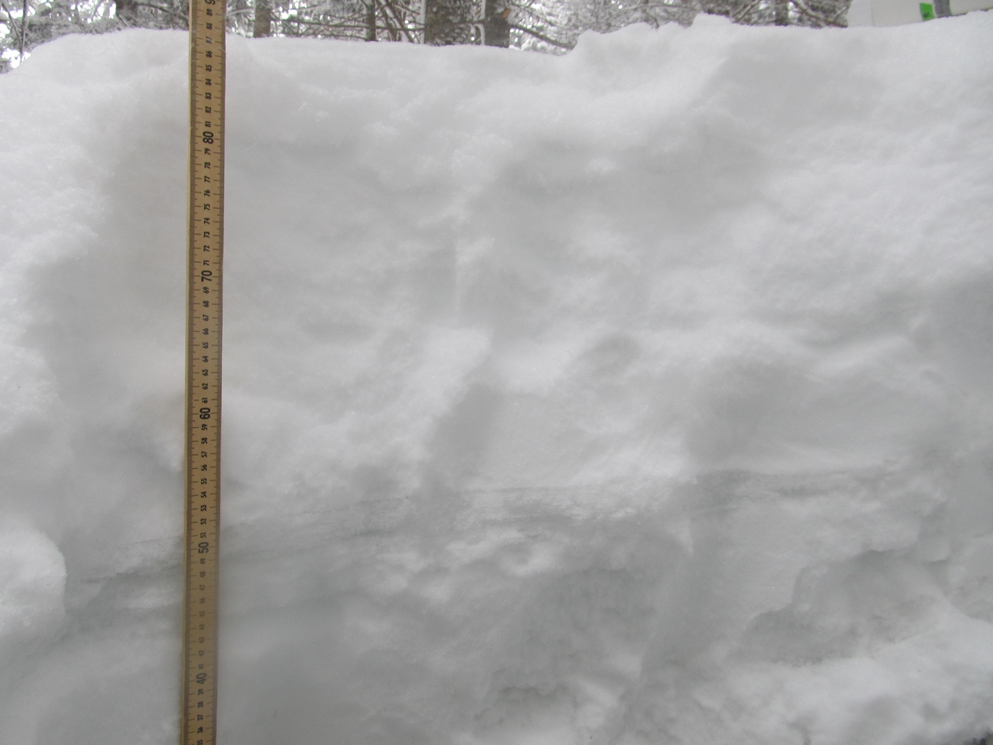
Throughout the winter, trips were made every 1-2 weeks to measure snow depth and snow water equivalent and occasionally swap batteries and download data. Our data are shared with the Northeast River Forecast Center (a division of the National Weather Service (NWS) that monitors and predicts river flooding in New England) and the National Operational Hydrologic Remote Sensing Center (another division of the NWS that provides remotely-sensed and modeled hydrology products). By monitoring the snowpack at several locations (and more in the future), flood prediction should improve in populated locations downstream of the White Mountains.
The next generation of these snowpack sensing platforms will include radios to transmit the data to the Internet in real time. However, regular trips to the sites will always be needed to obtain manual measures of snow depth and snow water equivalent, the latter of which is challenging to automate. If you are curious to learn more, please feel free to contact us below.
Below is a news segment from NBC10 in Boston highlighting the project!

