Snow Much Excitement
2020-10-19 16:25:50.000 – Sam Robinson, Weather Observer/Engineer
Hello again from 6288’,
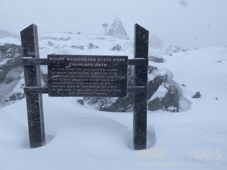
As many of you likely already know, the summit saw its first substantial snowfall of the season this past Saturday. What was originally forecasted to be a mostly high elevation snow event with rain for lower elevations ended up being an “early” season snowfall for northern and western parts of our region. I say “early” since technically on the summit we are behind schedule for significant snowfall but it was quite early for lower elevations, although not unheard of. We received no snowfall in the months of August or September, where on average we usually receive at least 0.1” and 2.2” in those months, respectively.
This storm was due to a coastal low moving up the eastern seaboard and then meeting up with, and tracking along, a stalled front to the east of our location. As the low rotated through our region it pulled cold air down from the northwest which lowered temperatures enough to change the rain over to snow. The dendritic growth zone of the atmosphere had adequate conditions to produce well-formed flakes and the rate of fall was strong enough to lower surface temperatures, allowing accumulations to occur even on paved surfaces. This storm was my personal first up here on the summit, and I had the opportunity to give my best shot at forecasting it on Friday. I knew due to it being “early” season that it would pose more challenges than a run-of-the-mill winter storm. The numerical models we commonly use to help forecast have seasonal algorithms that change as the seasons change to better reflect how the atmosphere and patterns behave. Another challenge was that most snowfall forecast models assume a 10:1 snow to liquid ratio. Since the precipitation was changing over from rain to snow during the course of the storm, the snow to liquid ratio was most definitely going to start out lower, closer to 5:1 or even 3:1 (lower the ratio, heavier and wetter the snow). None-the-less I used what I had and studied the different models to the best of my ability. Early snowfall amounts were forecasted around 6-8” but during the day Friday, mid-day model runs had less snow forecasted, and only high elevations were to receive snow. I thought this was suspicious since it was a bit of a drastic change so I held out for the afternoon model runs to come out. I was glad I did because the models had once again trended upwards.

My final forecast revision on Friday, for Saturday, was 6-9” with locally higher amounts possible. I had a gut feeling that snow could reach lower elevations but was less focused on that, as we forecast for the higher summits of the White Mountains since we experience much different weather than the valley, normally. On Saturday morning, my fellow observer Nicole and I ventured out to take pictures and experience the mayhem. Winds were increasing through the morning, eventually topping out near 100 mph, and when we ventured out the gusts were close to 80 mph. The blowing snow made for treacherous walking and visibilities were 20 feet or so at best. When gusts were stronger, it was hard to see 5 feet in front of you. The drifts made walking nearly impossible as some steps were on nearly bare ground, and some steps you would walk into a 3 foot tall drift. Quite the experience for my first snow storm.

As for the rest of the region, snow totals ranged from roughly 1-2” at the lowest elevations to 8-9” along the international border and higher valley locations. Jefferson NH, a close valley neighbor to us reported 9.3”! Judging by snow depth maps after the fact, it also appeared that some higher summits across the region received a foot or more similar to us. I was quite amazed to see that NH DOT was out plowing and salting as snow had accumulated even on roadways throughout Northern NH. Even more amazing was that 0.2” of snow was reported as far south as New Ipswich NH, a town close to where I live in Northern MA. Many locations across New England also received beneficial rainfall amounts of 1” to close to 4” in some spots, which definitely helps the drought conditions we have been experiencing the past couple months. Also, as a winter sports enthusiast, I was delighted to see a handful of diehard skiers posting about their first tracks across the North Country. Since higher elevations did see more snow (in most spots), skiers were able to hit the slopes on many mountains while colorful foliage was still present at lower elevations leading to some awesome shots.

I look forward to more winter storms as winter is my favorite season and I love snow. I also look forward to writing more observer comments in the future. Thanks for reading!
Sam Robinson, Weather Observer/Engineer
Team Flags Return for Seek the Peak’s 25th Anniversary
Team Flags Return for Seek the Peak's 25th Anniversary By MWOBS Staff Mount Washington Observatory is looking forward to continuing a much-loved tradition for Seek the Peak’s 25th Anniversary: Team flags. In inviting teams
Meet Summer Interns Zakiya, Max and Maddie
Meet Summer Interns Zakiya, Max and Maddie By MWOBS Staff We are excited to welcome six teammates to the summit of Mount Washington this summer! During their internship, these students and graduates will play
Saying Goodbye to the Summit
Saying Goodbye to the Summit By Alexis George After an extraordinary last three years working as a Weather Observer and Meteorologist, I am excited to pursue a different career. As sad I as am


