
Spring (Skiing) is in the Air!
2015-03-26 16:58:12.000 – Mike Dorfman, Weather Observer/IT Specialist
While this winter was slow to start, it seems to be the gift that doesn’t stop giving. The higher summits have seen an impressively long span of below-freezing temperatures, allowing for minimal melting in our snow pack as well as plenty of snowfall! Coverage at resorts across the state is doing quite well with the deepest base depths reaching over 5 feet!
Taking a look at the natural snow across the state, it’s no wonder the base depths are so deep! Natural snow depths are still hovering between 1-3 FEET for most of the state! Even after today’s (mostly) rain event, the southern half of the state will see some melting, but the little melting that will occur will be barely noticeable in our impressive snow pack and the northern half of the state will barely see any melting whatsoever. Even better, there is a swath of snow on the backside of the storm that will spread in through the center of the state, giving us a 20-40 percent chance of dropping 6 inches or more in the next 48 hours!
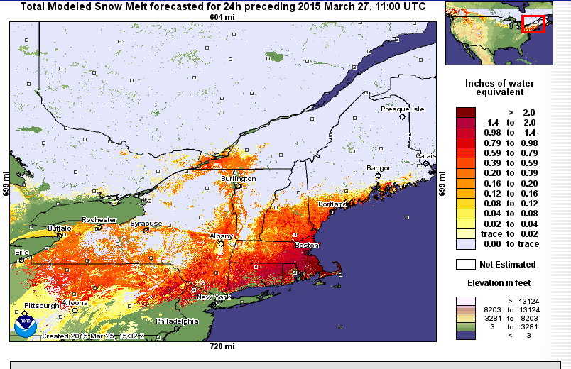 Snow melt over the next 24 hours. Source: http://www.weather.gov/nerfc/snow
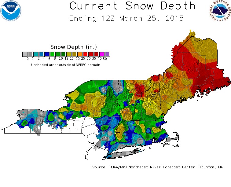 Snow depth in New England. Source: http://www.weather.gov/nerfc/snow
Mike Dorfman, Weather Observer/IT Specialist
Home Sweet Summit
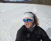
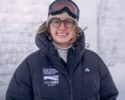
Home Sweet Summit By Kathryn Hawkes Me enjoying the view of Mount Washington while skiing in the valley on my off week. Hi everyone! My name is Kathryn Hawkes and I’m the
Meet MWOBS/MWAC Intern Ryan Tanski
Meet MWOBS/MWAC Intern Ryan Tanski By Ryan Tanski Hello! I’m Ryan Tanski and I’m the joint USFS Mount Washington Avalanche Center and Mount Washington Observatory Intern this winter. I’m thrilled to get to work
Geologist Climbs Rock Pile, Looks Up
Geologist Climbs Rock Pile, Looks Up By Bailey Nordin Hello from the summit of Mount Washington! My name is Bailey Nordin, and I am the newest Weather Observer and Education Specialist joining the team
