Volatile Weather Atop the Rockpile
2017-05-21 07:01:04.000 – Caleb Meute, Weather Observer / Meteorologist
This past week has brought quite the myriad of different weather conditions atop the Rockpile.
May 13th – May 15th: Coastal low pressure developed and moved into the Gulf of Maine staying nearly stationary while dropping a grand total of 33.3” of snow on the summit while falling continuously for 38 straight hours! As Tom stated in a previous blog post, this was the largest snowstorm ever recorded in our 85 years of data during the month of May. Simply because the storm felt like breaking as many May records as possible, it also broke the record for 24-hour accumulation in May at 22.9”! After this snowfall, our total snow accumulation so far this year (July 2016 – present) is at a monstrous 395.8”! This lands as the eighth snowiest winter since the beginning of our records, and if the summit receives another inch, it will take over as the seventh snowiest.
May 16th – Well… Nothing special really happened on this day, but the northeast started heating up! High pressure centered over Bermuda, and a low approaching along the international border led to the perfect set up for record warmth. With high pressure rotating clockwise over Bermuda, a warm southern air mass pushed north along the eastern seaboard. To further aid the building warmth, the area of low pressure rotating counter clockwise was also helping to bring southern air into the northeast, with New England landing in the low’s warm sector. This setup was a perfect conveyor belt for warm air to advect into New England during the days to come.
May 17th– Shift change! Also, the mercury began to soar. Generally, when I transition from Burlington VT weather to Mount Washington weather my body gets extra confused with the switch in temperatures. On Wednesday, this was not necessarily the case as the mercury soared to 54F, breaking the daily record high of 52F!
May 18th – Heading into Thursday, we were expecting the temperatures to rise once again to near the daily record, but it was a more impressive number that was going to be tough to beat. Turns out that was an amateur record as the high jumped up to 64F, surpassing the daily record by two degrees. This record only fell two degrees short of the all-time record high in May of 66F!

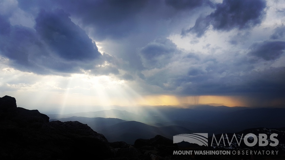
As the temperatures rose on Thursday, the atmosphere became increasingly unstable and lines of severe thunderstorms developed and barreled into the White Mountains. Typically when thunderstorms roll through, the summit is in the clouds and the view is occasional flashes that turn the gray fog a shade lighter. For the storms Thursday we were in the clear and able to see countless bolts of lightning stream across the sky that lit the Presidential Range up as if it were daytime. During those storms, the temperature dropped 10 degrees as colder air aloft was pulled down to summit level, winds ramped up to 80 mph, and ¼” hail fell.
After the days of record snowfall and record warmth, conditions have returned to more seasonable norm’s, just in time for the Mount Washington Auto Road to open up from base to summit! With that being said – a system currently over the Midwest has its eyes set on New England and will spread precipitation in overnight. We are expecting temperatures to fall tonight, and warm air aloft over a very dry layer beneath will lead to evaporational cooling that will send the mercury below freezing. As this happens, freezing rain will be the likely result, which could lead to significant glaze ice accrual before the temperatures climb back above freezing Monday morning and transition the freezing rain to plain rain.
This mountain sure keeps us Weather Observer’s on our toes!
Caleb Meute, Weather Observer / Meteorologist
Three and a Half Months of Snow, Ice and Rime
Three and a Half Months of Snow, Ice and Rime, with Deeper Drifts. By Ryan Steinke Me outside on the summit near the Yankee Building. My internship with the Mount Washington Observatory
Supporter Spotlight: Righteous Vices Coffee Roasters
Supporter Spotlight: Righteous Vices Coffee Roasters By MWOBS Staff Righteous Vices Coffee Roasters, a local coffee roaster and shop located in Center Conway, New Hampshire, has been a partner of the Observatory since 2024.
Winter Storm Tracks Across New Hampshire
Winter Storm Tracks Across New Hampshire By Alex Branton As winter comes to a close, most of us are ready for the warmer temperatures and sunshine that come with Spring and Summer. Although we


