Winter Storm Wrap-Up
2012-01-13 00:37:13.000 – Mike Carmon, Weather Observer/Meteorologist
Thank You, SE winds.
Part one of the two-pronged winter storm has come to a conclusion, as the radar is currently clear throughout the state of New Hampshire.
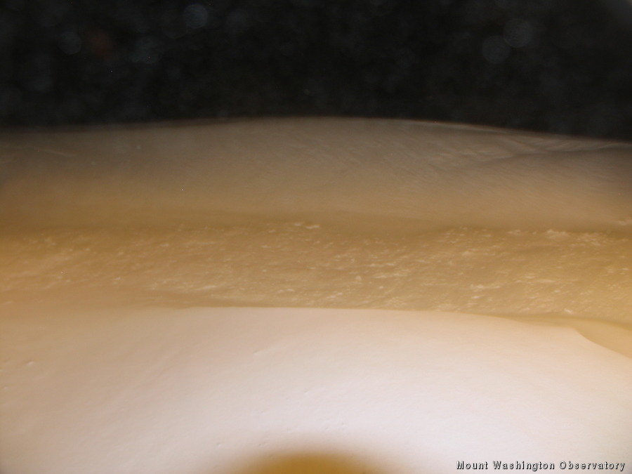
A low pressure system brought snowfall to the region today as it raced along the New England coastline. Up here on the summit, we received an estimated 6.5′ of snow, with plenty of large drifts to go around thanks to accompanying winds ranging from 50-70 mph.
Some additional higher snowfall totals from around NH (inches):
Madison, NH: 8.5
Randolph, NH: 7.8
Laconia, NH: 7.0
Berlin, NH: 6.5
One night’s break is all we receive, however, as another low pressure system along with a duo of cold fronts approaches tomorrow. Not nearly as much snow is expected out of the low, but the cold fronts will harbor the coldest temperatures of the winter season yet as they usher in a frigid arctic air mass. Models are suggesting lows on Sunday morning approaching a frosty 20 below F on the summit, which is only 6 degrees shy of the coldest temperature I’ve ever experienced in my three years here.
Worry not…we’ll share the love with y’all in the valleys. Temps in the Conway area are forecasted to drop to around 10 below on Saturday night/Sunday morning, while locations further north will approach 20 below during this time period. In fact, many valley locations (especially those north of the Whites) could see temperatures bottoming out below our readings on the summit.
It appears as though winter has finally arrived, as no substantial warm ups are in the foreseeable future.
Mike Carmon, Weather Observer/Meteorologist
Three and a Half Months of Snow, Ice and Rime
Three and a Half Months of Snow, Ice and Rime, with Deeper Drifts. By Ryan Steinke Me outside on the summit near the Yankee Building. My internship with the Mount Washington Observatory
Supporter Spotlight: Righteous Vices Coffee Roasters
Supporter Spotlight: Righteous Vices Coffee Roasters By MWOBS Staff Righteous Vices Coffee Roasters, a local coffee roaster and shop located in Center Conway, New Hampshire, has been a partner of the Observatory since 2024.
Winter Storm Tracks Across New Hampshire
Winter Storm Tracks Across New Hampshire By Alex Branton As winter comes to a close, most of us are ready for the warmer temperatures and sunshine that come with Spring and Summer. Although we


