
Winter’s Return
2014-12-29 17:15:07.000 – Tom Padham, Weather Observer/Meteorologist
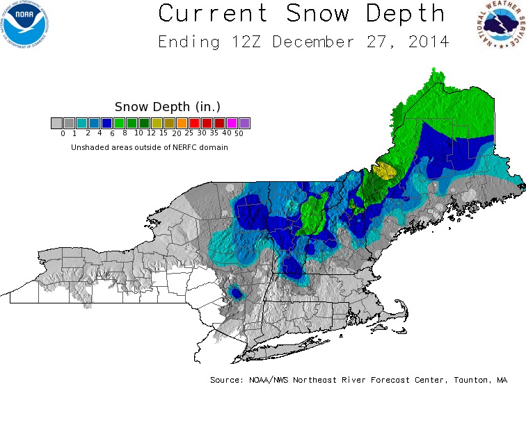
After a few weeks of above average temperatures and a melt out across the White Mountains, the week ahead looks much more winter like. Arctic high pressure will set up shop over New England, with a cold and dry air mass remaining in place through Friday. Temperatures on the summit will fall into the teens below zero both tonight and Tuesday night. This will allow for our snowpack to remain firmly in place, with some additional snowfall over the next couple days as a weak cold front crosses the area for the second half of the week. This is certainly good news for our local ski resorts, which saw plenty of rain and subsequent melting from the strong storm that affected the region over Christmas. Our snow depth on the summit also took a big hit, with a depth of 25 inches on the 23rd falling off to only 4 inches by the 25th.
By the weekend, models are indicating the possibility of a storm system moving northeast towards New England. With plenty of cold air in place, snow looks likely for the higher elevations, although how much is still very much up in the air. The system may only brush the region, or give us a more substantial snowfall depending on the model solution. Hopefully things will come into better agreement over the next few days and life will be a little easier for our weather forecasters.

Tom Padham, Weather Observer/Meteorologist

Seek the Peak Spotlight: The Cloud Chasers
Seek the Peak Spotlight: The Cloud Chasers By MWOBS Staff Mike Bergeron and Desiree Bolton have been participating and volunteering for Seek the Peak for three years now. Together, they comprise Team Cloud Chasers

Celebrating 250 Years: The Declaration’s Legacy in the White Mountains
Celebrating 250 Years: The Declaration's Legacy in the White Mountains By Peter Crane We are now approaching July Fourth, Independence Day, the day when we celebrate the adoption of the Declaration of Independence in

Seek the Peak Spotlight: Ryan Shepard
Seek the Peak Spotlight: Ryan Shepard By MWOBS Staff Before Ryan Shepard moved to Conway, he was in Western New York celebrating his 40th birthday party. “I wanted to go big,” he said. “Big”
