
Irene 3
2011-08-27 17:05:04.000 – Mike Carmon, Weather Observer/Meteorologist
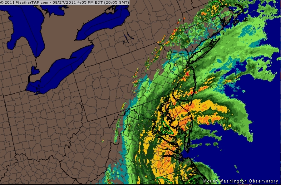
Irene’s massive span
Irene’s still coming!
If you were hoping your collective hurricane/rain dances, etc., would ward off Hurricane Irene, I regret to inform you that they have not. Irene still has her sights set on New England, along with most of the rest of the eastern seaboard, and she does not intend to play nice.
As of 5 p.m. EDT, Irene is a Category 1 Hurricane centered over the Outer Banks of N.C., and moving quickly towards the north. It is spreading rain bands as far north as southern NH. Boston has already seen its first dousing of rain, and plenty more is on the way. In the meantime, residents along the coastlines of NJ, NY, CT, RI, and MA are bracing for a very wet and windy 36 hours.
Irene is still expected to come ashore as a strong Tropical Storm or minimal Hurricane on the CT coastline late tomorrow morning, and make a bee-line towards New Hampshire. As a reminder, all White Mountain National Forest trails and campgrounds, in addition to all NH State parks, forests & trails, are CLOSED tonight through Monday. Once the Sherman Adams Summit Building shuts its doors at 6 p.m. tonight, there will be no shelter available at the summit through Monday! The Mt. Washington Auto Road has just announced that they too will be shutting down tomorrow, and do not plan to reopen until Monday (weather permitting). Long story short: stay home tomorrow! Search and Rescue operations will be all but impossible.
Although Irene will almost certainly not be a hurricane as it barrels through New Hampshire tomorrow, it will still bring PLENTY of dangerous conditions, including massive amounts of rainfall and winds possibly gusting up to 70 mph (with the highest gusts near Irene’s center). Stay away from flood-prone areas, and seek higher ground BEFORE the storm reaches it’s height. Secure loose outdoor objects that could become projectiles, and be prepared for prolonged power outages.
Up here on the summit, Irene looks to be a formidable foe as well. One computer model is forecasting the highest wind speed numbers I’ve ever seen in my three years forecasting for the higher summits. Should this model’s scenario come to fruition, wind gusts in the 130-140 mph range are not out of the question. Even if winds do not reach this magnitude, all models are forecasting winds reaching 90 mph sustained at some point tomorrow or tomorrow night, which means wind gusts over 100 mph are highly likely at this point! We’re looking forward to it!
Mike Carmon, Weather Observer/Meteorologist
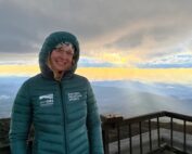
Home on the Range
Home on the Range By Athena Hendrick Nice to meet you! My name is Athena, and I’ve just begun my climate science communication internship with the Mount Washington Observatory, Appalachian Mountain Club, and Hubbard
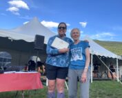
Seek the Peak Spotlight: Sandy and Joan Kurtz
Seek the Peak Spotlight: Sandy and Joan Kurtz By MWOBS Staff Sandy and Joan Kurtz have been active supporters of Mount Washington Observatory for almost five decades. After visiting North Conway in 1980, they
Living the Night Life
Living the Night Life By Madelynn Smith My alarm goes off in the bunkroom, with blackout curtains obscuring the sun’s rays as it begins to lower in the sky. My day starts in the
