
Snowed in at 6288′
2017-12-22 14:44:08.000 – Tom Padham, Weather Observer/Education Specialist
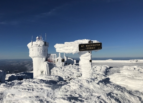
It’s already been a very snowy start to our winter season on the summit of Mount Washington, and that trend looks to continue to end out 2017. The summit was actually just over a foot (13.0”) below average for our seasonal total at the start of December, but things have quickly turned around with 60.5” of snow to date for the month, over 5 feet!
December is actually our snowiest month of the year, with an average of 46” of snowfall. March and January are close seconds with just one inch less on average. Our snowiest December occurred in 1968, when an incredible 104” (8.5 feet!) of snow was recorded. December 2016 actually takes second place, with 93.6”.
After only about a 24 hour break, it looks likely that we will see a white Christmas across New England! Early Christmas morning a quick moving coastal storm will intensify and track towards Newfoundland, with heavy snowfall possible for coastal New England and a lighter snowfall here in the White Mountains. With plenty of cold air in place and lighter winds this will likely be a light and fluffy snow, and therefore could still add up to somewhere in the 3-6” or 4-8” range here on the summit before winding down to snow showers Tuesday, December 26th.
Last but certainly not least, models are now hinting at another potential snowstorm for the Northeast in the December 30th-31st timeframe. With the storm being a week away details are likely to change in the coming days, but with how models have looked this could be a powerful storm system. If the storm were to track close to the coast, here on the summit 100+ mph winds and well over a foot of snow would be possible. I can’t think of a better way to end 2017 and ring in the new year!

06Z GFS Model showing a potentially strong Nor’Easter in the Gulf of Maine on 12/31/17. Image courtesy of Tropical Tidbits. Note: this is just one potential solution!
Tom Padham, Weather Observer/Education Specialist

Seek the Peak Spotlight: The Cloud Chasers
Seek the Peak Spotlight: The Cloud Chasers By MWOBS Staff Mike Bergeron and Desiree Bolton have been participating and volunteering for Seek the Peak for three years now. Together, they comprise Team Cloud Chasers

Celebrating 250 Years: The Declaration’s Legacy in the White Mountains
Celebrating 250 Years: The Declaration's Legacy in the White Mountains By Peter Crane We are now approaching July Fourth, Independence Day, the day when we celebrate the adoption of the Declaration of Independence in

Seek the Peak Spotlight: Ryan Shepard
Seek the Peak Spotlight: Ryan Shepard By MWOBS Staff Before Ryan Shepard moved to Conway, he was in Western New York celebrating his 40th birthday party. “I wanted to go big,” he said. “Big”
