A Week of Variable Weather
2013-11-04 17:19:58.000 – Samuel Hewitt, Summit Intern
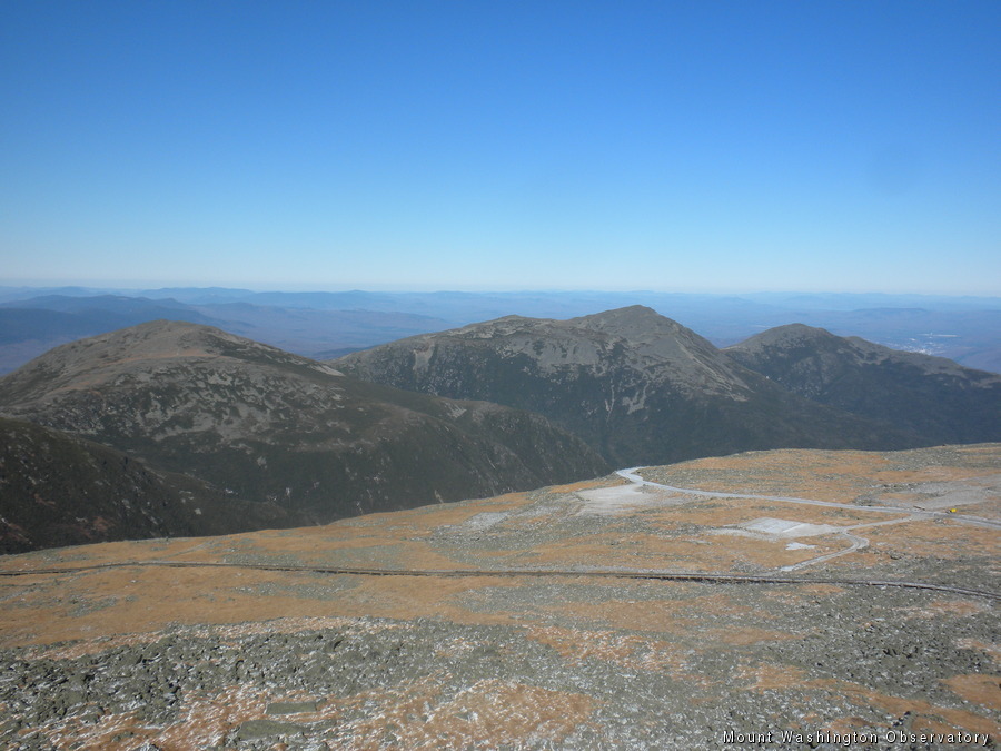
It was a beautiful day today!
When our shift began last Wednesday, the summit was blanketed in 2″ of snow and rime. Snow showers fell during the morning hours and temperatures remained steady in the mid-teens. On Thursday, a warm front crossed the region, allowing temperatures to soar well above the freezing mark for the first time since October 22nd. In the 24 hours from 11:00 pm on Wednesday to 11:00 pm on Thursday, the temperature rose from 19 to 42 degrees. Rain showers, accompanied by the much warmer temperatures quickly melted away our 2″ snow pack during the day Thursday.
Winds began to quickly ramp up Thursday night, as an intense area of low pressure began its jog to the north and east of the Upper Great Lakes. Friday morning, we arose to howling southwesterly winds. Our peak gust for the day was 130 mph! I just happened to be standing at the top our parapet when winds gusted to 121 mph! I was pinned to the railing surrounding the parapet and was forced to use all my energy to crouch low and safely get down the ladder back into the Observatory.
The departing system dragged a cold front across the higher summits Friday night, allowing temperatures to drop back below the freezing mark and winds to ease during the day Saturday. High pressure began to build across New England Sunday, resulting in clearing conditions and relatively light winds for much of the day. Temperatures however, continued to fall, dropping into the upper single digits by dusk. Today we saw much of the same, a mostly sunny sky and near maximum visibility, with highs around 20 degrees. We look forward to a similar pattern over the new few days, as high pressure remains in control!
Samuel Hewitt, Summit Intern
Supporter Spotlight: Righteous Vices Coffee Roasters
Supporter Spotlight: Righteous Vices Coffee Roasters By MWOBS Staff Righteous Vices Coffee Roasters, a local coffee roaster and shop located in Center Conway, New Hampshire, has been a partner of the Observatory since 2024.
Winter Storm Tracks Across New Hampshire
Winter Storm Tracks Across New Hampshire By Alex Branton As winter comes to a close, most of us are ready for the warmer temperatures and sunshine that come with Spring and Summer. Although we
Bringing Polar Byrd I to Mount Washington
Bringing Polar Byrd I to Mount Washington By Jackie Broccolo In 1968, my grandfather joined the Polar Byrd I “Dustin Transpolar Flight”, which was the first commercial flight to carry civilians across both poles


