Cold And A Snarling Mess Ahead
2013-12-18 23:23:26.000 – Ryan Knapp, Weather Observer/Meteorologist
Baby it’s cold outside.
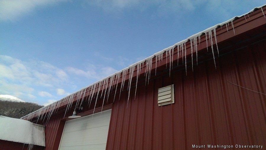
Mount Washington is typically one of the coldest locations in the state of New Hampshire. However, from time to time in the winter, our crown has to be passed down to a valley location to our north. Last week, the summit crew could certainly claim the crown as they were the coldest as they experienced a low of 22F below zero (30C below zero) on Friday the 13th. While some view this date and temperature as unlucky, I was lucky enough to be up for an overnight trip to experience and even “play” out in it (turning boiling water to snow for our guests). At that time, it was also the coldest temperatures I had experienced since last winter so it was exciting for me.
However, that personal low would be shattered a few days later at my home in Berlin, NH. Being a weather geek, I knew it was coming – an arctic cold front, cold air damming north of the White Mountains, clear skies, new snow, no wind…it was all lining up to be cold. Therefore, with this all in mind, I woke up early on Tuesday morning to see just how low the mercury would go. With the thermometer hung to World Meteorological Organization standards (as I said – a geek) I sat inside periodically watching things slowly tick down. I would have watched it in real time but I quickly learned that watching a thermometer is like watching a teakettle boil. Through my periodic checks though, I watched as the mercury eventually bottomed out at a low of 27F below zero (~33C below zero) – beating my summit counterparts that night and so far this winter.
So, my personal number of 27F below zero (~33C below zero) is now what I need to beat this winter. Looking ahead this week though, my personal best (or is it least?) isn’t going to be surpassed anytime soon as temperatures slowly warm. In fact, the set up bringing us warmer temperatures is also shaping up to be a doozy of a storm that will potentially snarl holiday travel on the eastern half of the US just before Christmas. Severe thunderstorms are expected in the Deep South, some possible flooding could occur in the mid-Atlantic region, an Ice Storm for northern New England (think on the level of those seen in 1998 and 2008), heavy snow in the far north and stretching towards Chicago, and then dense fog and cold following it all. While things could shake out differently in the models and in reality in the coming days, so far this storm has been sticking solidly as its approach nears. So, definitely keep an eye on the forecast in the coming days especially if travel is in your future.
Ryan Knapp, Weather Observer/Meteorologist
Winter Storm Tracks Across New Hampshire
Winter Storm Tracks Across New Hampshire By Alex Branton As winter comes to a close, most of us are ready for the warmer temperatures and sunshine that come with Spring and Summer. Although we
Bringing Polar Byrd I to Mount Washington
Bringing Polar Byrd I to Mount Washington By Jackie Broccolo In 1968, my grandfather joined the Polar Byrd I “Dustin Transpolar Flight”, which was the first commercial flight to carry civilians across both poles
Seek the Peak 2026: New Adventures, Rooted in Tradition
Seek the Peak 2026: New Adventures, Rooted in Tradition By MWOBS Staff Seek the Peak is Mount Washington Observatory's largest annual fundraiser, and for 26 years it's brought together hikers, adventurers, and people who


