
Citizen Science Puts Weather Reporting in Your Hands
Ryan Knapp, Weather Observer & Meteorologist
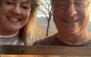
Supporter Spotlight: Emory Prescott
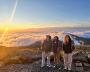
Supporter Spotlight: Emory Prescott By Wendy Almeida For Emory Prescott, being a Mount Washington Observatory member for the past 10 years isn’t just about weather. It’s about purpose and the kind of research that helps people better understand the natural world. Emory was first introduced to
Collaborative Research of White Mountain Climatology
Collaborative Research of White Mountain Climatology Organizations Transform Data into Understanding in New White Mountains Almanac By Ellen Estabrook November marked the release of The White Mountains Almanac, a first-of-its-kind publication created by Mount Washington Observatory and partners at the Appalachian Mountain Club (AMC) and Hubbard
New Annual Almanac Chronicles Climate and Ecological Shifts in New Hampshire’s White Mountains
New Annual Almanac Chronicles Climate and Ecological Shifts in New Hampshire’s White Mountains A Collaborative Visual and Scientific Resource Offers an Unprecedented Look at a Changing Landscape White Mountains, NH — A groundbreaking new publication is set to deepen public understanding of one of New England’s
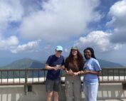
Highlights From My Summer Internship
Highlights From My Summer Internship By Max Sasser It’s hard to believe that the summer is over. It went by so quickly, but it felt like I lived a lifetime at Mount Washington. I

Reminiscing About My Summer on the Summit
Reminiscing about my Summer on the Summit By Amber Stokes Hello again! It’s hard to believe my time as an intern is coming to an end. It feels like just yesterday I was sitting
A Summer I’ll Never Forget
A Summer I'll Never Forget By Madelynn Smith It’s hard to believe that my time here as an intern at Mount Washington Observatory is coming to a close. Before this internship I had never
