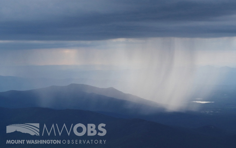
A distant shower falls over Mount Martha, NH (aka, Cherry Mountain).
If you’re anything like me, you probably have an app or two dedicated to weather on your phone. Maybe you have a preferred app for weather forecasts, another for radar data, and yet another for satellite data. Or maybe instead of apps, you have several go-to websites bookmarked for various weather data.
Weather information keeps us informed so that we can prepare appropriately for the weather ahead, short-term or long-term. With colder weather in the forecast, we might pack a few extra layers or pull in a few more logs for the stove. Or, we might receive a warning about a severe storm heading your direction, and so we pack up, head indoors, and keep an eye on its progress.
While your favorite apps or websites might be providing you with weather data, did you know there are a few apps/sites that you can utilize and provide current weather data to aid in research as a citizen scientist?
Here are some apps that I have on my phone and might be of interest to you:
Mountain Rain or Snow
Remote sensing is improving and aiding in filling weather data gaps. However, precipitation phase changes can be difficult over mountainous terrain, and weather stations only provide information at a static location. That is where human observations aid in detailing how precipitation phase changes vary in time and space. Using these apps, with a few taps you can send observations of precipitation during storms at your location.
Forecasting
NOAA National Severe Storms Laboratory is collecting weather reports through the free app
mPING. What’s “mPING?” It is an acronym for Meteorological Phenomena Identification Near the Ground. The data in turn help define the precipitation that is falling at your location and improve forecasts and radar techniques. That in turn filters down to improve those various other weather apps you might be using for forecasts and radar data.
Cloud Types and Sky Conditions
GLOBE Observer Clouds can be used to observe clouds, mosquito habitats, land cover, and trees. With the cloud observation aspect, you can help document cloud cover, cloud types, cloud opacity, sky conditions, visibilities, and surface conditions along with photographic examples. It is a bit more involved than the prior reporting apps, but with a few taps and snaps, you can contribute your real-world observations for better understanding and interpretation of satellite data vs surface data.
Ryan Knapp, Weather Observer & Meteorologist

